Image

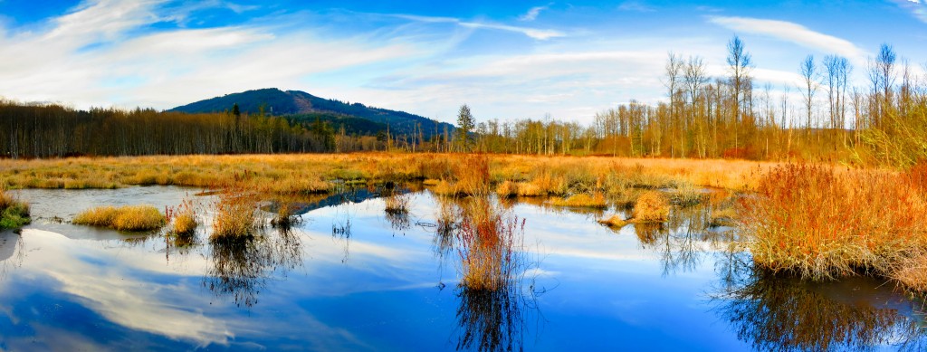
Samish River headwaters

This photograph was taken from the bridge at Wickersham, looking north over the wetlands that form the headwaters of the Samish River. This Whatcom Land Trust wetland extends about 9,500 feet from this bridge to the Doren Road. Photographing a wetland of this size from the air is going to be a challenge — if the UAV goes down for any reason, chances of recovery are close to zero.

But as they say: What could possibly go wrong?

Samish River headwaters

Samish River headwaters

Click the image to see it full-size
Image

Maple Reach

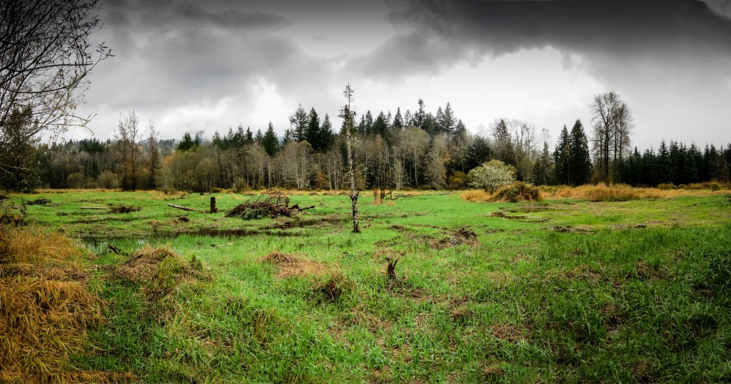
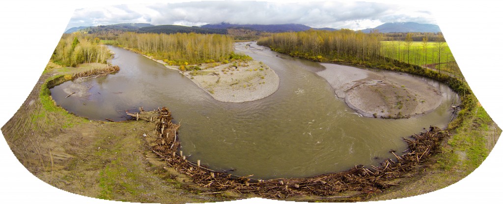
Many people who visit Maple Reach don’t realize how much restoration work has been done at this reserve. When viewed from ground level there’s really not much evidence of the extensive changes that have been done to this former farmland. Unless you view the aerial videos or actually walk through the property, little is actually revealed.

This photograph was taken in late October, shortly after a good dose of rain filled the new stream channels.

MapleReach ground pana-1

Landing Strip Creek

4 November 2014 Aerial video Landing Strip Creek: a small salmon stream winding through the recently replanted Catalyst Reserve just south of Acme,in Whatcom County, WA. … Continue reading